Southdown Methodist Church Centre
Introduction
The photograph on this page of Southdown Methodist Church Centre by HelenK as part of the Geograph project.
The Geograph project started in 2005 with the aim of publishing, organising and preserving representative images for every square kilometre of Great Britain, Ireland and the Isle of Man.

There are currently over 7.5m images from over 14,400 individuals and you can help contribute to the project by visiting https://www.geograph.org.uk
Southdown Methodist Church Centre
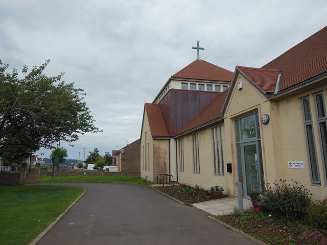
Image: © HelenK Taken: 14 Sep 2013
The nearby Methodist church in Oldfield Park closed a few years ago, but the church remains active in the area at this complex of church buildings.
Images are licensed for reuse under creativecommons.org/licenses/by-sa/2.0
Image Location
Latitude
51.37141
Longitude
-2.398314