Ingrebourne Hill - Forestry Commission Land
Introduction
The photograph on this page of Ingrebourne Hill - Forestry Commission Land by Roger Jones as part of the Geograph project.
The Geograph project started in 2005 with the aim of publishing, organising and preserving representative images for every square kilometre of Great Britain, Ireland and the Isle of Man.

There are currently over 7.5m images from over 14,400 individuals and you can help contribute to the project by visiting https://www.geograph.org.uk
Ingrebourne Hill - Forestry Commission Land
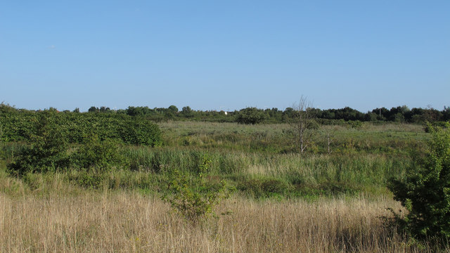
Image: © Roger Jones Taken: 31 Aug 2013
Part of the Forestry Commission Ingrebourne Hill site http://www.forestry.gov.uk/ingrebourne which makes up part of the Ingrebourne Valley reserves http://www.wildessex.net/groupSites/Ingrebourne%20Valley.htm . This view taken south east of Lake Stillwell. This forestry commission site is part of the Thames Chase Community Forest http://www.forestry.gov.uk/thameschase .
Images are licensed for reuse under creativecommons.org/licenses/by-sa/2.0
Image Location
Latitude
51.524364
Longitude
0.195541