B1078 northeast of Poplar Farm
Introduction
The photograph on this page of B1078 northeast of Poplar Farm by Stuart Logan as part of the Geograph project.
The Geograph project started in 2005 with the aim of publishing, organising and preserving representative images for every square kilometre of Great Britain, Ireland and the Isle of Man.

There are currently over 7.5m images from over 14,400 individuals and you can help contribute to the project by visiting https://www.geograph.org.uk
B1078 northeast of Poplar Farm
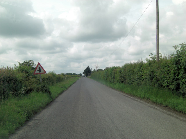
Image: © Stuart Logan Taken: 28 Jun 2013
It's not difficult to imagine this as a Roman Road and the B1078 has been following its track for some distance. I can find no record of a specific Roman name, although further east it's marked as Ipswich Road on the O/S map. Likewise the lane joining from the left has no name until it has travelled some way south, then it is called Scotts Lane.
Images are licensed for reuse under creativecommons.org/licenses/by-sa/2.0
Image Location
Latitude
52.148141
Longitude
1.271183