A1120 northeast of Hill Farm
Introduction
The photograph on this page of A1120 northeast of Hill Farm by Stuart Logan as part of the Geograph project.
The Geograph project started in 2005 with the aim of publishing, organising and preserving representative images for every square kilometre of Great Britain, Ireland and the Isle of Man.

There are currently over 7.5m images from over 14,400 individuals and you can help contribute to the project by visiting https://www.geograph.org.uk
A1120 northeast of Hill Farm
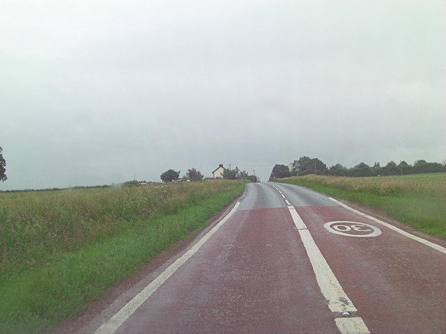
Image: © Stuart Logan Taken: 27 Jun 2013
The road is also called 'Mill Hill' at this point.
Images are licensed for reuse under creativecommons.org/licenses/by-sa/2.0
Image Location
Latitude
52.217429
Longitude
1.253726