The River Thames at Desborough Island
Introduction
The photograph on this page of The River Thames at Desborough Island by David Purchase as part of the Geograph project.
The Geograph project started in 2005 with the aim of publishing, organising and preserving representative images for every square kilometre of Great Britain, Ireland and the Isle of Man.

There are currently over 7.5m images from over 14,400 individuals and you can help contribute to the project by visiting https://www.geograph.org.uk
The River Thames at Desborough Island
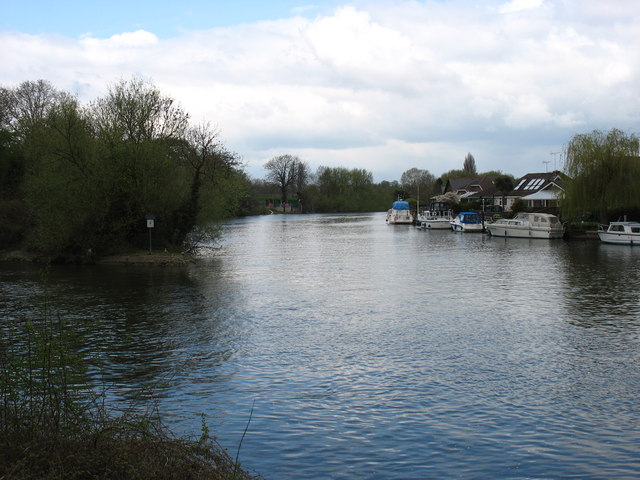
Image: © David Purchase Taken: 27 Apr 2013
The Desborough Cut, the entrance to which can be seen on the left, was opened in 1935 and saved a very twisty stretch of river, part of which is seen here. The cut created Desborough Island, which can be reached by one of two bridges. The photo was taken from the Thames Path, here on the south bank of the river.
Images are licensed for reuse under creativecommons.org/licenses/by-sa/2.0
Image Location
Latitude
51.385054
Longitude
-0.437598