Bridge over Duke of Northumberland's River
Introduction
The photograph on this page of Bridge over Duke of Northumberland's River by Robin Webster as part of the Geograph project.
The Geograph project started in 2005 with the aim of publishing, organising and preserving representative images for every square kilometre of Great Britain, Ireland and the Isle of Man.

There are currently over 7.5m images from over 14,400 individuals and you can help contribute to the project by visiting https://www.geograph.org.uk
Bridge over Duke of Northumberland's River
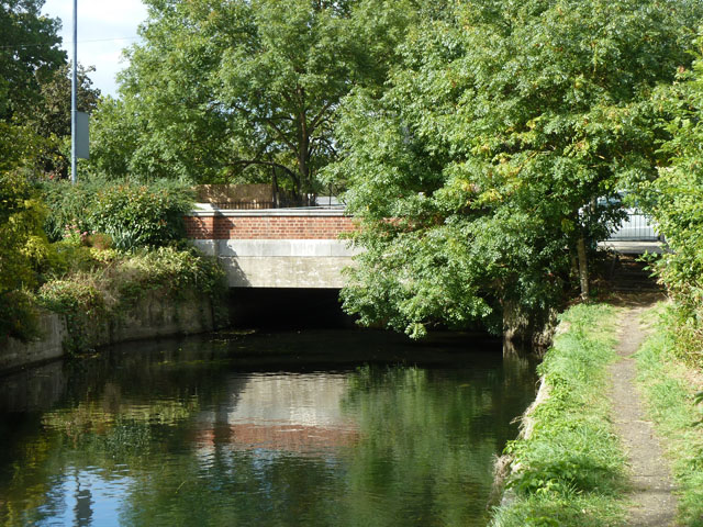
Image: © Robin Webster Taken: 14 Sep 2012
Whitton Road crosses. This artificial river takes most of the River Crane's water under normal conditions.
Images are licensed for reuse under creativecommons.org/licenses/by-sa/2.0
Image Location


Leaflet Map data © OpenStreetMap
Latitude
51.453742
Longitude
-0.344867