View east from the bottom of Newacres Road
Introduction
The photograph on this page of View east from the bottom of Newacres Road by Robert Graham as part of the Geograph project.
The Geograph project started in 2005 with the aim of publishing, organising and preserving representative images for every square kilometre of Great Britain, Ireland and the Isle of Man.

There are currently over 7.5m images from over 14,400 individuals and you can help contribute to the project by visiting https://www.geograph.org.uk
View east from the bottom of Newacres Road
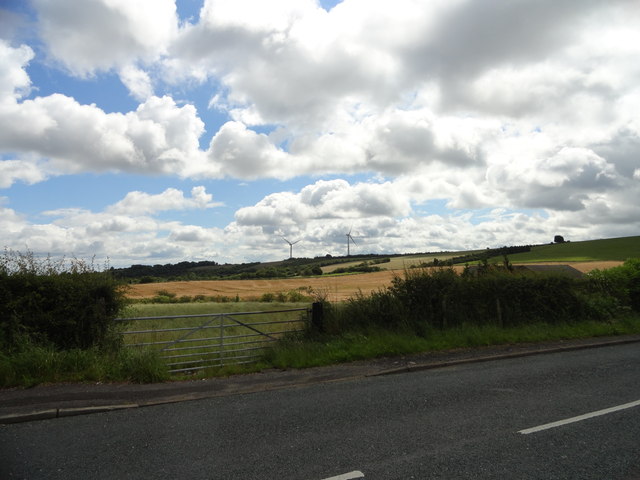
Image: © Robert Graham Taken: 18 Jul 2012
Looking over the fields towards the wind turbines on Wagtail Lane, which runs along the ridge top.
Images are licensed for reuse under creativecommons.org/licenses/by-sa/2.0
Image Location
Latitude
54.852169
Longitude
-1.699838