Stoney Middleton village from the churchyard
Introduction
The photograph on this page of Stoney Middleton village from the churchyard by Andrew Hill as part of the Geograph project.
The Geograph project started in 2005 with the aim of publishing, organising and preserving representative images for every square kilometre of Great Britain, Ireland and the Isle of Man.

There are currently over 7.5m images from over 14,400 individuals and you can help contribute to the project by visiting https://www.geograph.org.uk
Stoney Middleton village from the churchyard
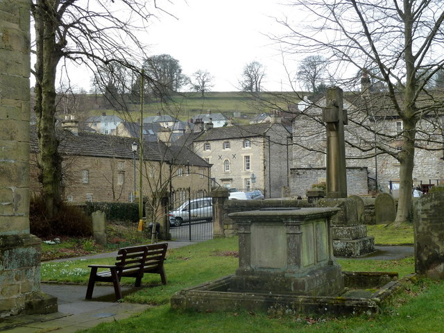
Image: © Andrew Hill Taken: 16 Feb 2012
A lovely view of the clustered houses of the village from the compact churchyard.
Images are licensed for reuse under creativecommons.org/licenses/by-sa/2.0
Image Location
Latitude
53.275713
Longitude
-1.6549