View from Irish Street
Introduction
The photograph on this page of View from Irish Street by Andy Farrington as part of the Geograph project.
The Geograph project started in 2005 with the aim of publishing, organising and preserving representative images for every square kilometre of Great Britain, Ireland and the Isle of Man.

There are currently over 7.5m images from over 14,400 individuals and you can help contribute to the project by visiting https://www.geograph.org.uk
View from Irish Street
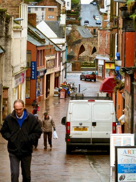
Image: © Andy Farrington Taken: 26 Jan 2012
The view here is over Brewery Street to White Sands the A781, then the Old Bridge over the River Nith and finally to Maxwell Street on the other side of the river with the parked cars. The weather as can be seen by coats and hats was pretty dreich as they say in this part of the world. Lucky for me I got most of my pictures taken before the rain set in for the rest of the day in Dumfries but found that it had snowed when I got back home to the Machars.
Images are licensed for reuse under creativecommons.org/licenses/by-sa/2.0
Image Location
Latitude
55.069011
Longitude
-3.614028