Corner of Heol-y-Pia and Cae'r Fferm, Trecenydd, Caerphilly
Introduction
The photograph on this page of Corner of Heol-y-Pia and Cae'r Fferm, Trecenydd, Caerphilly by Jaggery as part of the Geograph project.
The Geograph project started in 2005 with the aim of publishing, organising and preserving representative images for every square kilometre of Great Britain, Ireland and the Isle of Man.

There are currently over 7.5m images from over 14,400 individuals and you can help contribute to the project by visiting https://www.geograph.org.uk
Corner of Heol-y-Pia and Cae'r Fferm, Trecenydd, Caerphilly
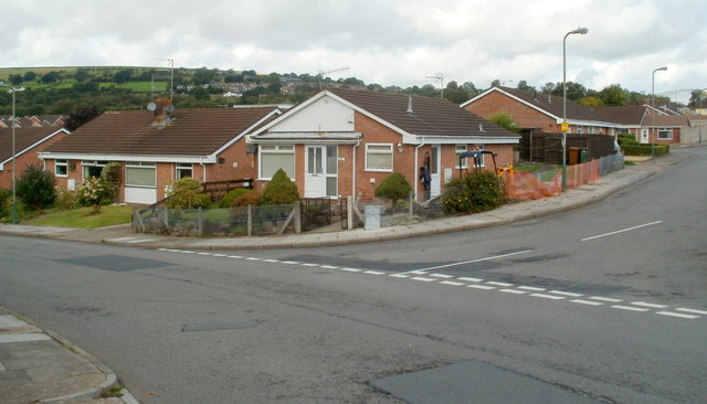
Image: © Jaggery Taken: 25 Aug 2011
Heol-y-Pia on the right is a cul-de-sac connecting with Cae'r Fferm, the central, circular road through Glenfields housing estate on the west side of St Cenydd Road.
Images are licensed for reuse under creativecommons.org/licenses/by-sa/2.0
Image Location
Latitude
51.576195
Longitude
-3.240974