Viewing platform at Sutcliffe Park
Introduction
The photograph on this page of Viewing platform at Sutcliffe Park by Marathon as part of the Geograph project.
The Geograph project started in 2005 with the aim of publishing, organising and preserving representative images for every square kilometre of Great Britain, Ireland and the Isle of Man.

There are currently over 7.5m images from over 14,400 individuals and you can help contribute to the project by visiting https://www.geograph.org.uk
Viewing platform at Sutcliffe Park
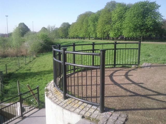
Image: © Marathon Taken: 8 Apr 2011
A few years ago Sutcliffe Park was just another municipal stretch of grass. Then it was transformed by a flood defence scheme which brought the Quaggy River to the surface and created lakes, wetlands and boardwalks. This viewing platform enables people to look across the site. The road beyond the trees is Kidbrooke Park Road.
Images are licensed for reuse under creativecommons.org/licenses/by-sa/2.0
Image Location
Latitude
51.455181
Longitude
0.027262