Linkfield Street
Introduction
The photograph on this page of Linkfield Street by Ian Capper as part of the Geograph project.
The Geograph project started in 2005 with the aim of publishing, organising and preserving representative images for every square kilometre of Great Britain, Ireland and the Isle of Man.

There are currently over 7.5m images from over 14,400 individuals and you can help contribute to the project by visiting https://www.geograph.org.uk
Linkfield Street
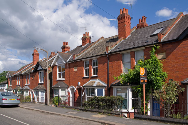
Image: © Ian Capper Taken: 12 Sep 2010
Edwardian cottages in Linkfield Street - the plaque on the right gives a building date of 1905. The road is much older, being one of the original lanes in the area.
Images are licensed for reuse under creativecommons.org/licenses/by-sa/2.0
Image Location
Latitude
51.238725
Longitude
-0.175715