Bridle gate near Upper Digges Farm
Introduction
The photograph on this page of Bridle gate near Upper Digges Farm by David Anstiss as part of the Geograph project.
The Geograph project started in 2005 with the aim of publishing, organising and preserving representative images for every square kilometre of Great Britain, Ireland and the Isle of Man.

There are currently over 7.5m images from over 14,400 individuals and you can help contribute to the project by visiting https://www.geograph.org.uk
Bridle gate near Upper Digges Farm
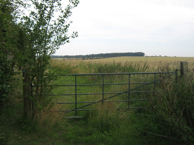
Image: © David Anstiss Taken: 5 Sep 2010
The North Downs Way (long distance path) heads from the Barham Downs, past the farm and then through this gate to head on another bridleway towards Aylesham Cemetery on the Adisham Road. Ileden Wood is in the background
Images are licensed for reuse under creativecommons.org/licenses/by-sa/2.0
Image Location
Latitude
51.214992
Longitude
1.171907