Cullompton: Paulsland Farm
Introduction
The photograph on this page of Cullompton: Paulsland Farm by Martin Bodman as part of the Geograph project.
The Geograph project started in 2005 with the aim of publishing, organising and preserving representative images for every square kilometre of Great Britain, Ireland and the Isle of Man.

There are currently over 7.5m images from over 14,400 individuals and you can help contribute to the project by visiting https://www.geograph.org.uk
Cullompton: Paulsland Farm
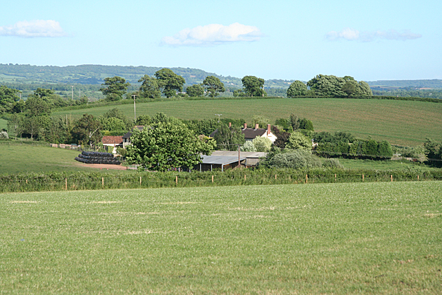
Image: © Martin Bodman Taken: 6 Jun 2010
Seen from Beacon Lane, two fields away. A telephoto shot. The hill behind the farm has a trig point on it with a spot height of 92m
Images are licensed for reuse under creativecommons.org/licenses/by-sa/2.0
Image Location
Latitude
50.86706
Longitude
-3.399824