Brynglas Avenue, Newport
Introduction
The photograph on this page of Brynglas Avenue, Newport by Jaggery as part of the Geograph project.
The Geograph project started in 2005 with the aim of publishing, organising and preserving representative images for every square kilometre of Great Britain, Ireland and the Isle of Man.

There are currently over 7.5m images from over 14,400 individuals and you can help contribute to the project by visiting https://www.geograph.org.uk
Brynglas Avenue, Newport
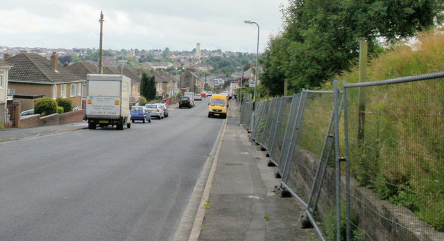
Image: © Jaggery Taken: 16 Aug 2009
The view down Brynglas Avenue towards Redland Street. The fencing on the right protects a currently derelict area, the former site of prefabs.
Images are licensed for reuse under creativecommons.org/licenses/by-sa/2.0
Image Location
Latitude
51.602794
Longitude
-2.997675