Thanet Coastal Path approaching Newgate Gap Bridge
Introduction
The photograph on this page of Thanet Coastal Path approaching Newgate Gap Bridge by Robert Lamb as part of the Geograph project.
The Geograph project started in 2005 with the aim of publishing, organising and preserving representative images for every square kilometre of Great Britain, Ireland and the Isle of Man.

There are currently over 7.5m images from over 14,400 individuals and you can help contribute to the project by visiting https://www.geograph.org.uk
Thanet Coastal Path approaching Newgate Gap Bridge
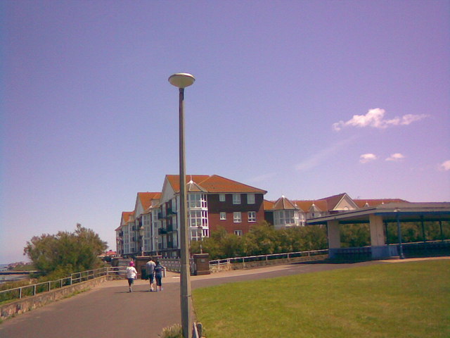
Image: © Robert Lamb Taken: 15 Jun 2008
This is the Thanet Coastal Path as it approaches Newgate Gap Bridge (just in front of where the people can be seen walking in the background) and the new seaside flats featured in Image The structure on the extreme right of the image is a shelter. View taken looking east as the crow flies.
Images are licensed for reuse under creativecommons.org/licenses/by-sa/2.0
Image Location
Latitude
51.392157
Longitude
1.394353