The track leading to Castle An Dinas
Introduction
The photograph on this page of The track leading to Castle An Dinas by Rod Allday as part of the Geograph project.
The Geograph project started in 2005 with the aim of publishing, organising and preserving representative images for every square kilometre of Great Britain, Ireland and the Isle of Man.

There are currently over 7.5m images from over 14,400 individuals and you can help contribute to the project by visiting https://www.geograph.org.uk
The track leading to Castle An Dinas
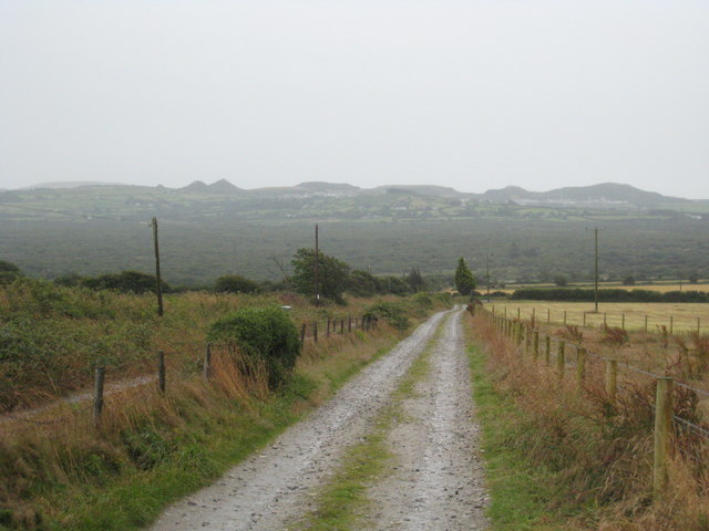
Image: © Rod Allday Taken: 26 Jul 2009
Looking south towards the china clay spoil heaps around St Dennis.
Images are licensed for reuse under creativecommons.org/licenses/by-sa/2.0
Image Location
Latitude
50.42023
Longitude
-4.893092