Footpath near Deanhouse
Introduction
The photograph on this page of Footpath near Deanhouse by Humphrey Bolton as part of the Geograph project.
The Geograph project started in 2005 with the aim of publishing, organising and preserving representative images for every square kilometre of Great Britain, Ireland and the Isle of Man.

There are currently over 7.5m images from over 14,400 individuals and you can help contribute to the project by visiting https://www.geograph.org.uk
Footpath near Deanhouse
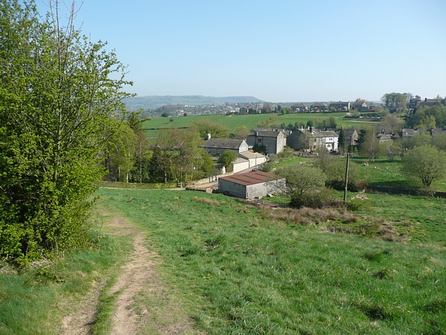
Image: © Humphrey Bolton Taken: 19 Apr 2009
This footpath is from Oldfield to Deanhouse, which is the hamlet in the middle distance. Netherthong is on the ridge beyond.
Images are licensed for reuse under creativecommons.org/licenses/by-sa/2.0
Image Location
Latitude
53.586404
Longitude
-1.791501