Warren Road
Introduction
The photograph on this page of Warren Road by Ian Capper as part of the Geograph project.
The Geograph project started in 2005 with the aim of publishing, organising and preserving representative images for every square kilometre of Great Britain, Ireland and the Isle of Man.

There are currently over 7.5m images from over 14,400 individuals and you can help contribute to the project by visiting https://www.geograph.org.uk
Warren Road
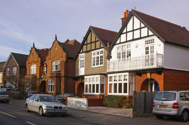
Image: © Ian Capper Taken: 24 Jan 2009
A couple of contrasting semi-detached houses, which, judging from their absence from the 1895 Godfrey Edition of Reigate, date from the late 1890s/early 20th century.
Images are licensed for reuse under creativecommons.org/licenses/by-sa/2.0
Image Location
Latitude
51.242787
Longitude
-0.200483