High tide mark on towpath at Richmond
Introduction
The photograph on this page of High tide mark on towpath at Richmond by David Hawgood as part of the Geograph project.
The Geograph project started in 2005 with the aim of publishing, organising and preserving representative images for every square kilometre of Great Britain, Ireland and the Isle of Man.

There are currently over 7.5m images from over 14,400 individuals and you can help contribute to the project by visiting https://www.geograph.org.uk
High tide mark on towpath at Richmond
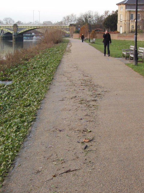
Image: © David Hawgood Taken: 19 Dec 2008
This section of The Thames is tidal and the water can come over parts of the towpath and some riverside streets. The debris on the towpath was left by the previous high tide.
Images are licensed for reuse under creativecommons.org/licenses/by-sa/2.0
Image Location
Latitude
51.459112
Longitude
-0.311565