Bagshot Centre and Kings Arms
Introduction
The photograph on this page of Bagshot Centre and Kings Arms by Roger as part of the Geograph project.
The Geograph project started in 2005 with the aim of publishing, organising and preserving representative images for every square kilometre of Great Britain, Ireland and the Isle of Man.

There are currently over 7.5m images from over 14,400 individuals and you can help contribute to the project by visiting https://www.geograph.org.uk
Bagshot Centre and Kings Arms
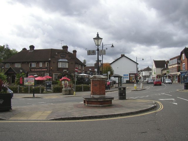
Image: © Roger Taken: 4 Oct 2008
The main road (A30) bypasses the village centre, but the old lamp post shows the original road junction sign. The Kings Arms pub is seen opposite.
Images are licensed for reuse under creativecommons.org/licenses/by-sa/2.0
Image Location
Latitude
51.361292
Longitude
-0.692786