
IMAGES TAKEN NEAR TO
The Village, YORK, YO32 5XB
Introduction
This page details the photographs taken nearby to The Village, YO32 5XB by members of the Geograph project.
The Geograph project started in 2005 with the aim of publishing, organising and preserving representative images for every square kilometre of Great Britain, Ireland and the Isle of Man.

There are currently over 7.5m images from over14,400 individuals and you can help contribute to the project by visiting https://www.geograph.org.uk
Image Map
Images are licensed for reuse under creativecommons.org/licenses/by-sa/2.0
Notes
- Clicking on the map will re-center to the selected point.
- The higher the marker number, the further away the image location is from the centre of the postcode.
Image Listing (36 Images Found)
Images are licensed for reuse under creativecommons.org/licenses/by-sa/2.0
Image
Details
Distance
2
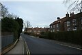
The Village
Looking along The Village in Strensall.
Image: © DS Pugh
Taken: 31 Jan 2021
0.11 miles
3
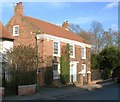
Village house in Strensall
One of the most attractive houses in the older part of the village, this one looks as though it dates from the 18th century.
Image: © Gordon Hatton
Taken: 21 Jan 2009
0.12 miles
4
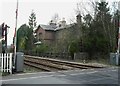
Level crossing and former station, Strensall
The level crossing carries Lords Moor Lane over the York to Scarborough railway line. This line was opened by the York & North Midland Railway in 1845. Beyond the crossing is the former Strensall station house designed by George Townsend Andrews who designed most of the structures along this line. It is a typical Andrews station and would have been built around the time the line opened. It closed in 1930. It is a Listed Building
Image: © Christopher Hall
Taken: 30 Mar 2014
0.12 miles
5
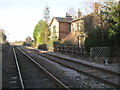
Strensall railway station (site), Yorkshire
Opened in 1845 by the York & North Midland Railway, later part of the North Eastern Railway, on its line from Scarborough to York. This station closed to passengers in 1930.
View south west towards Strensall Halt and York. The York-bound platform was to the left. The Scarborough-bound platform was behind the camera position, as was a small coal yard and sidings for the Brecks Lane brick and tile works.
Image: © Nigel Thompson
Taken: 9 Dec 2012
0.12 miles
6

Start of Southfields Road
The start of Southfields Road in Strensall which heads to York Road.
Image: © DS Pugh
Taken: 19 Apr 2025
0.14 miles

8
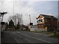
Level crossing and signal box, Strensall
Where the York to Scarborough railway line crosses Lords Moor Lane near the eastern end of Strensall.
Image: © Richard Vince
Taken: 10 Apr 2015
0.14 miles
9
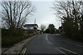
Strensall Level Crossing (Lords Moor Lane)
On the York to Scarborough line. You can view a video on the workings of this signal box at: https://www.s-r-s.org.uk/videoPages/YorkScarborough.php
Image: © DS Pugh
Taken: 31 Jan 2021
0.14 miles
10

Strensall (Lords Moor Lane) level crossing
The signal box controls this section of the line and can be seen in operation in this video: https://www.s-r-s.org.uk/videoPages/YorkScarborough.php
Image: © DS Pugh
Taken: 19 Apr 2025
0.14 miles