Strensall Level Crossing (Lords Moor Lane)
Introduction
The photograph on this page of Strensall Level Crossing (Lords Moor Lane) by DS Pugh as part of the Geograph project.
The Geograph project started in 2005 with the aim of publishing, organising and preserving representative images for every square kilometre of Great Britain, Ireland and the Isle of Man.

There are currently over 7.5m images from over 14,400 individuals and you can help contribute to the project by visiting https://www.geograph.org.uk
Strensall Level Crossing (Lords Moor Lane)
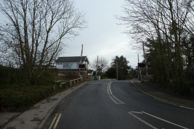
Image: © DS Pugh Taken: 31 Jan 2021
On the York to Scarborough line. You can view a video on the workings of this signal box at: https://www.s-r-s.org.uk/videoPages/YorkScarborough.php
Images are licensed for reuse under creativecommons.org/licenses/by-sa/2.0
Image Location
Latitude
54.040221
Longitude
-1.026341