IMAGES TAKEN NEAR TO
Beeford, DRIFFIELD, YO25 8AF
Introduction
This page details the photographs taken nearby to YO25 8AF by members of the Geograph project.
The Geograph project started in 2005 with the aim of publishing, organising and preserving representative images for every square kilometre of Great Britain, Ireland and the Isle of Man.

There are currently over 7.5m images from over14,400 individuals and you can help contribute to the project by visiting https://www.geograph.org.uk
Image Map
Images are licensed for reuse under creativecommons.org/licenses/by-sa/2.0
Notes
- Clicking on the map will re-center to the selected point.
- The higher the marker number, the further away the image location is from the centre of the postcode.
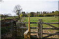
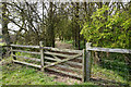
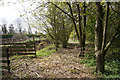
Image Listing (24 Images Found)
Images are licensed for reuse under creativecommons.org/licenses/by-sa/2.0
Image
Details
Distance
8
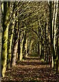
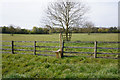
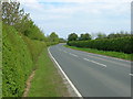
Avenue of trees, Upton, near Beeford
Seen from the public footpath which runs along the north side of the B1249 Beeford Road.
Image: © Paul Harrop
Taken: 11 Mar 2015
0.09 miles