
IMAGES TAKEN NEAR TO
Innage Lane, BRIDGNORTH, WV16 4HT
Introduction
This page details the photographs taken nearby to Innage Lane, WV16 4HT by members of the Geograph project.
The Geograph project started in 2005 with the aim of publishing, organising and preserving representative images for every square kilometre of Great Britain, Ireland and the Isle of Man.

There are currently over 7.5m images from over14,400 individuals and you can help contribute to the project by visiting https://www.geograph.org.uk
Image Map
Images are licensed for reuse under creativecommons.org/licenses/by-sa/2.0
Notes
- Clicking on the map will re-center to the selected point.
- The higher the marker number, the further away the image location is from the centre of the postcode.
Image Listing (518 Images Found)
Images are licensed for reuse under creativecommons.org/licenses/by-sa/2.0
Image
Details
Distance
1
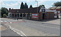
William Williams in Bridgnorth
Innage Lane premises of William Williams (Bridgnorth) Ltd, builders
and plumbers merchants (Trade and DiY (=Do it Yourself ie the general public)).
Image: © Jaggery
Taken: 2 Jul 2014
0.01 miles
2
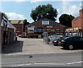
Yard, William Williams, Bridgnorth
The yard is on the west side of the main building. http://www.geograph.org.uk/photo/4054083
Image: © Jaggery
Taken: 2 Jul 2014
0.02 miles
3
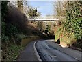
Footbridge across the B4373
The footbridge provides access to the Bridgnorth Endowed School.
Image: © Mat Fascione
Taken: 19 Feb 2023
0.03 miles
4
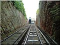
Cliff Railway from Low Town to High Town, Bridgnorth, Shropshire
Image: © Paul Russon
Taken: Unknown
0.03 miles
5
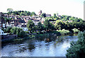
Bridgnorth: High Town
This view of High Town from the bridge is situated in the south eastern section of the grid square. This square is largely town.
Image: © Pam Brophy
Taken: Unknown
0.03 miles
6
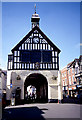
Bridgnorth: Marketplace
This old building was the old market and is situated in the south eastern section of the grid square. The picture was taken from the south side of the building.
Image: © Pam Brophy
Taken: Unknown
0.03 miles
7
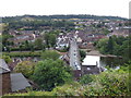
Bridgnorth: View from top station of the Cliff Railway
Image: © Dr Neil Clifton
Taken: 5 Jul 2015
0.03 miles
8
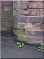
OS benchmark - Bridgnorth, Broseley Road (no 3)
A third OS cutmark in a short distance at the Bridgnorth end of the B4373 Broseley Road; this one was originally levelled at 59.802m above Ordnance Datum Newlyn.
Image: © Richard Law
Taken: 7 Dec 2013
0.03 miles
9
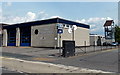
Bridgnorth Fire Station
Part of Shropshire Fire and Rescue Service, viewed across Innage Lane.
Image: © Jaggery
Taken: 2 Jul 2014
0.04 miles
10

Fire station
Innage Lane, Bridgnorth.
Image: © Richard Webb
Taken: 15 Feb 2019
0.04 miles