IMAGES TAKEN NEAR TO
Kidderminster Road, BRIDGNORTH, WV15 6JF
Introduction
This page details the photographs taken nearby to Kidderminster Road, WV15 6JF by members of the Geograph project.
The Geograph project started in 2005 with the aim of publishing, organising and preserving representative images for every square kilometre of Great Britain, Ireland and the Isle of Man.

There are currently over 7.5m images from over14,400 individuals and you can help contribute to the project by visiting https://www.geograph.org.uk
Image Map
Images are licensed for reuse under creativecommons.org/licenses/by-sa/2.0
Notes
- Clicking on the map will re-center to the selected point.
- The higher the marker number, the further away the image location is from the centre of the postcode.
Image Listing (8 Images Found)
Images are licensed for reuse under creativecommons.org/licenses/by-sa/2.0
Image
Details
Distance
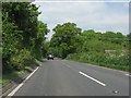
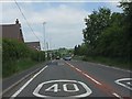
2
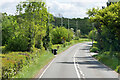
Kidderminster Road (A422) Alveley
Alveley is a village located in the Severn Valley, situated approximately 11 miles south-southeast of Bridgnorth..
Image: © David Dixon
Taken: 15 May 2023
0.08 miles
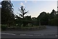
3
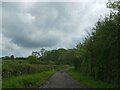
Track to house and farm at Dumbolds, south of Alveley
Image: © David Smith
Taken: 12 May 2023
0.12 miles

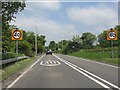
5
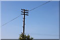
Traditional telegraph pole on the A442, Alveley
Image: © David Howard
Taken: 30 May 2020
0.16 miles