IMAGES TAKEN NEAR TO
Spencer Avenue, BILSTON, WV14 8HT
Introduction
This page details the photographs taken nearby to Spencer Avenue, WV14 8HT by members of the Geograph project.
The Geograph project started in 2005 with the aim of publishing, organising and preserving representative images for every square kilometre of Great Britain, Ireland and the Isle of Man.

There are currently over 7.5m images from over14,400 individuals and you can help contribute to the project by visiting https://www.geograph.org.uk
Image Map
Images are licensed for reuse under creativecommons.org/licenses/by-sa/2.0
Notes
- Clicking on the map will re-center to the selected point.
- The higher the marker number, the further away the image location is from the centre of the postcode.
Image Listing (102 Images Found)
Images are licensed for reuse under creativecommons.org/licenses/by-sa/2.0
Image
Details
Distance
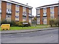
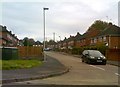
2
Spencer Avenue
The view from Bridge Street in Coseley.
Image: © Gordon Griffiths
Taken: 2 Nov 2017
0.03 miles
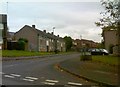
3
Chaucer Close View
The view in Coseley.
Image: © Gordon Griffiths
Taken: 9 Nov 2017
0.04 miles
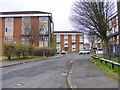
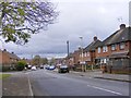
4
Edge Street
The view from Bridge Street in Coseley.
Image: © Gordon Griffiths
Taken: 2 Nov 2017
0.04 miles
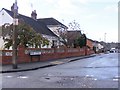
5
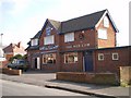
The Red Cow
A Banks's pub on Edge Street in Wallbrook, Coseley.
Image: © Richard Law
Taken: 5 Mar 2009
0.05 miles
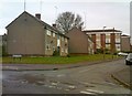
6
Broad Street
The view off Bridge Street in Coseley.
Image: © Gordon Griffiths
Taken: 2 Nov 2017
0.06 miles
7
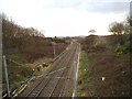
Bayer Street View
The view from Roseville down the Midland railway line towards Tipton.
Image: © Gordon Griffiths
Taken: 19 Dec 2014
0.07 miles
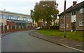
9
Galbraith Close
The view from Bridge Street in Coseley.
Image: © Gordon Griffiths
Taken: 2 Nov 2017
0.09 miles
10
Edge Street Junction
The view from Wallbrook Street in Coseley.
Image: © Gordon Griffiths
Taken: 5 Nov 2017
0.09 miles