
IMAGES TAKEN NEAR TO
Norbury Road, WOLVERHAMPTON, WV10 9RL
Introduction
This page details the photographs taken nearby to Norbury Road, WV10 9RL by members of the Geograph project.
The Geograph project started in 2005 with the aim of publishing, organising and preserving representative images for every square kilometre of Great Britain, Ireland and the Isle of Man.

There are currently over 7.5m images from over14,400 individuals and you can help contribute to the project by visiting https://www.geograph.org.uk
Image Map
Images are licensed for reuse under creativecommons.org/licenses/by-sa/2.0
Notes
- Clicking on the map will re-center to the selected point.
- The higher the marker number, the further away the image location is from the centre of the postcode.
Image Listing (40 Images Found)
Images are licensed for reuse under creativecommons.org/licenses/by-sa/2.0
Image
Details
Distance
1
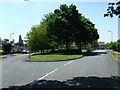
Leafy Junction
The green area between Warren Avenue and Eastcote Road.
Image: © Gordon Griffiths
Taken: 14 May 2008
0.10 miles
2
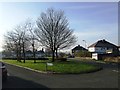
Green space Warren Avenue in winter
Private housing on the fringe of the Low Hill Estate
Image: © John M
Taken: 13 Jan 2013
0.10 miles
3
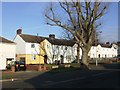
Council Housing - Park Lane
1920s housing on the fringe of the Low Hill Estate.
Image: © John M
Taken: 13 Jan 2013
0.14 miles
4
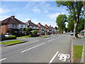
Fallings Park, suburban housing
On Park Lane.
Image: © Mike Faherty
Taken: 30 Jun 2013
0.15 miles
5
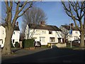
Council Housing - Park Lane
1920s housing on the fringe of the Low Hill Estate
Image: © John M
Taken: 13 Jan 2013
0.16 miles
6
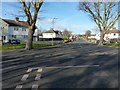
Second Avenue, Fallings Park
The junction of Second Avenue with Park Lane, in the large Fallings Park estate.
Image: © Richard Law
Taken: 24 Nov 2010
0.17 miles
7
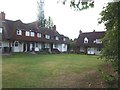
Fallings Park Garden Suburb - Cannock Road
A small court of houses built for the 1908 exhibition look out onto a small shared green.
Image: © John M
Taken: 10 Sep 2011
0.18 miles
8
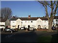
Council Housing - Park Lane
1920s 'Tudor Waters' Report housing.
Image: © John M
Taken: 13 Jan 2013
0.18 miles
9
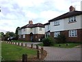
Council Housing - Cannock Road
Following the plot layout of the Fallings Park Garden Suburb these properties were built in the early 1920s around a small green. The vehicular access is a relatively recent feature.
Image: © John M
Taken: 10 Sep 2011
0.19 miles
10
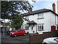
Fallings Park Garden Suburb - The Avenue
At the centre of the triangle overlooking the open space the property retains some of the original details.
Image: © John M
Taken: 10 Sep 2011
0.19 miles