Council Housing - Cannock Road
Introduction
The photograph on this page of Council Housing - Cannock Road by John M as part of the Geograph project.
The Geograph project started in 2005 with the aim of publishing, organising and preserving representative images for every square kilometre of Great Britain, Ireland and the Isle of Man.

There are currently over 7.5m images from over 14,400 individuals and you can help contribute to the project by visiting https://www.geograph.org.uk
Council Housing - Cannock Road
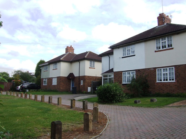
Image: © John M Taken: 10 Sep 2011
Following the plot layout of the Fallings Park Garden Suburb these properties were built in the early 1920s around a small green. The vehicular access is a relatively recent feature.
Images are licensed for reuse under creativecommons.org/licenses/by-sa/2.0
Image Location
Latitude
52.60278
Longitude
-2.105233