
IMAGES TAKEN NEAR TO
Lambert Road, WOLVERHAMPTON, WV10 9RF
Introduction
This page details the photographs taken nearby to Lambert Road, WV10 9RF by members of the Geograph project.
The Geograph project started in 2005 with the aim of publishing, organising and preserving representative images for every square kilometre of Great Britain, Ireland and the Isle of Man.

There are currently over 7.5m images from over14,400 individuals and you can help contribute to the project by visiting https://www.geograph.org.uk
Image Map
Images are licensed for reuse under creativecommons.org/licenses/by-sa/2.0
Notes
- Clicking on the map will re-center to the selected point.
- The higher the marker number, the further away the image location is from the centre of the postcode.
Image Listing (44 Images Found)
Images are licensed for reuse under creativecommons.org/licenses/by-sa/2.0
Image
Details
Distance
1
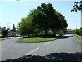
Leafy Junction
The green area between Warren Avenue and Eastcote Road.
Image: © Gordon Griffiths
Taken: 14 May 2008
0.08 miles
2
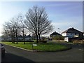
Green space Warren Avenue in winter
Private housing on the fringe of the Low Hill Estate
Image: © John M
Taken: 13 Jan 2013
0.08 miles
3
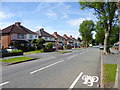
Fallings Park, suburban housing
On Park Lane.
Image: © Mike Faherty
Taken: 30 Jun 2013
0.14 miles
4
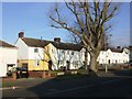
Council Housing - Park Lane
1920s housing on the fringe of the Low Hill Estate.
Image: © John M
Taken: 13 Jan 2013
0.14 miles
5
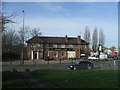
Golden Lion in Fallings Park
Busy pub on the junction of Cannock Road and Bushbury Road. The old turnpike road turned markedly at this point to cut off a corner on its route into Wolverhampton.
Image: © John M
Taken: 4 Feb 2007
0.14 miles
6
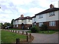
Council Housing - Cannock Road
Following the plot layout of the Fallings Park Garden Suburb these properties were built in the early 1920s around a small green. The vehicular access is a relatively recent feature.
Image: © John M
Taken: 10 Sep 2011
0.14 miles
7
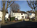
Council Housing - Park Lane
1920s housing on the fringe of the Low Hill Estate
Image: © John M
Taken: 13 Jan 2013
0.14 miles
8

William Butler Brewery Emblem - Golden Lion
William Butler's were taken over by Mitchells and Butlers of Smethwick in 1960. The Springfield Brewery in Wolverhampton survived until 1991.
The Golden Lion was designed by Richard Twentyman (1903-1979) whose practices Lavender, Twentyman & Partners and later Twentyman, Percy & Partners designed many modernist buildings in Wolverhampton including Beatties department store, the Eye Infirmary and St Andrew's Church. Twentyman also designed a number of pubs including the Pear Tree.
Image: © John M
Taken: 6 Jun 2010
0.15 miles
9
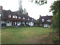
Fallings Park Garden Suburb - Cannock Road
A small court of houses built for the 1908 exhibition look out onto a small shared green.
Image: © John M
Taken: 10 Sep 2011
0.15 miles
10
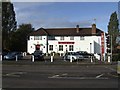
Golden Lion - Cannock Road
Sizzling Pub Co's contractors have given the exterior of the pub a complete makeover this week painting the brickwork white and installing new signage. The building a notable pre-war public house by local architect Richard Twentyman and was locally listed. The interior features were removed during an earlier refurbishment.Image
The company has applied this style to a number of pubs in the area and
it could be argued that this sort of corporate style rebranding of a chain of pubs is akin to the widespread excesses of the 1970s by the major breweries such as Watney's and Courage. Although not now a brewer the current owner of Sizzling Pubs, Mitchell & Butlers, was one of those companies.
Image: © John M
Taken: 23 Oct 2010
0.15 miles