
IMAGES TAKEN NEAR TO
Victory Lane, WALSALL, WS2 8TG
Introduction
This page details the photographs taken nearby to Victory Lane, WS2 8TG by members of the Geograph project.
The Geograph project started in 2005 with the aim of publishing, organising and preserving representative images for every square kilometre of Great Britain, Ireland and the Isle of Man.

There are currently over 7.5m images from over14,400 individuals and you can help contribute to the project by visiting https://www.geograph.org.uk
Image Map
Images are licensed for reuse under creativecommons.org/licenses/by-sa/2.0
Notes
- Clicking on the map will re-center to the selected point.
- The higher the marker number, the further away the image location is from the centre of the postcode.
Image Listing (11 Images Found)
Images are licensed for reuse under creativecommons.org/licenses/by-sa/2.0
Image
Details
Distance
1
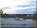
Reeds Wood Pond
Dawn is just breaking over Reeds Wood Park. This is the view looking southwest, from the new road which follows the course of the old railway.
Image: © Roger May
Taken: 18 Dec 2005
0.05 miles
2
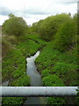
Former Anson Branch Canal
This disused canal drains south out of Reeds Wood Park between Birchills and Pouk Hill.
Image: © Jonathan Billinger
Taken: 1 May 2008
0.19 miles
5
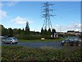
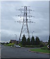
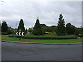
Bloxwich Lane roundabout
A roundabout, and one of the less attractive large pylons in the area.
Image: © Richard Law
Taken: 2 Nov 2012
0.22 miles
6
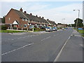
Along Cavendish Road
1950s housing on Cavendish Road in Leamore.
Image: © Richard Law
Taken: 5 Sep 2013
0.23 miles
7
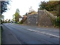
Railway bridge abutment
The eastern abutment of the bridge that carried the former Midland Railway from Walsall to Wolverhampton, via Willenhall (Market Place) & Wednesfield, across Bloxwich Lane. Its western equivalent in the trees on the left has been all but dismantled, probably as a result of the M6's construction.
Image: © Richard Law
Taken: 2 Nov 2012
0.23 miles
8

Monarch's Way Bentley
The Way follows Bloxwich Lane alongside the M6 Motorway at Walsall.
Image: © Gordon Griffiths
Taken: 5 Mar 2009
0.23 miles
9
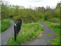
Two paths
Both lead north from Bentley Lane into Reeds Wood Park.
Image: © Jonathan Billinger
Taken: 1 May 2008
0.24 miles
10
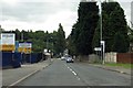
Bentley Lane passes the Bentley Lane Industrial Estate
Image: © Steve Daniels
Taken: 14 Jul 2014
0.24 miles