
IMAGES TAKEN NEAR TO
Ford Way, RUGELEY, WS15 4BX
Introduction
This page details the photographs taken nearby to Ford Way, WS15 4BX by members of the Geograph project.
The Geograph project started in 2005 with the aim of publishing, organising and preserving representative images for every square kilometre of Great Britain, Ireland and the Isle of Man.

There are currently over 7.5m images from over14,400 individuals and you can help contribute to the project by visiting https://www.geograph.org.uk
Image Map
Images are licensed for reuse under creativecommons.org/licenses/by-sa/2.0
Notes
- Clicking on the map will re-center to the selected point.
- The higher the marker number, the further away the image location is from the centre of the postcode.
Image Listing (92 Images Found)
Images are licensed for reuse under creativecommons.org/licenses/by-sa/2.0
Image
Details
Distance
1
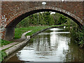
Kents Bridge near Armitage, Staffordshire
This is the Trent and Mersey Canal, looking east as it meanders towards Fradley Junction and Burton upon Trent.
Kents Bridge is No 59 across the Trent and Mersey Canal. It was originally an accommodation bridge but now is a public footbridge to the residential area off to the right, in Old Road.
Image: © Roger Kidd
Taken: 17 Oct 2011
0.04 miles
2
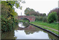
Trent and Mersey Canal at Handsacre, Staffordshire
Bridge No 59 was formerly a farmer's access bridge, but now links the towpath with the housing estate at Old Road.
Image: © Roger D Kidd
Taken: 22 Oct 2009
0.04 miles
4
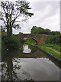
Bridge No 59, Trent and Mersey Canal near Handsacre, Staffordshire
Formerly a farmer's field access bridge, this one now links the towpath with the housing estate at Old Road.
Image: © Roger D Kidd
Taken: 12 Jun 2008
0.05 miles
6

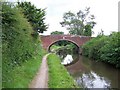
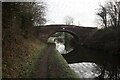
Kents Bridge near Armitage in Staffordshire
Kents Bridge is No 59 across the Trent and Mersey Canal. It is an accommodation Bridge serving Old Road Farm two hundred yards to the north-west.
Image: © Roger Kidd
Taken: 22 Jul 2016
0.05 miles
8
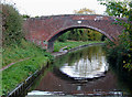
Bridge No 59 at Handsacre, Staffordshire
On the Trent and Mersey Canal, the bridge was formerly a farmer's access bridge, but now links the towpath with the housing estate at Old Road.
Image: © Roger D Kidd
Taken: 15 Oct 2009
0.06 miles
9
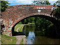
Kents Bridge No 59 in Handsacre
Crossing the Trent & Mersey Canal.
Image: © Mat Fascione
Taken: 27 Jun 2015
0.06 miles
10
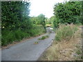
Gated private road, heading towards the A513
Immediately north of, and parallel to, the Trent & Mersey Canal. This section is between Old Road Farm and bridge 59 to the west, and the sewage worksto the east.
Image: © Christine Johnstone
Taken: 23 Jul 2018
0.06 miles