
IMAGES TAKEN NEAR TO
Leslie Walk, WORCESTER, WR5 2SQ
Introduction
This page details the photographs taken nearby to Leslie Walk, WR5 2SQ by members of the Geograph project.
The Geograph project started in 2005 with the aim of publishing, organising and preserving representative images for every square kilometre of Great Britain, Ireland and the Isle of Man.

There are currently over 7.5m images from over14,400 individuals and you can help contribute to the project by visiting https://www.geograph.org.uk
Image Map
Images are licensed for reuse under creativecommons.org/licenses/by-sa/2.0
Notes
- Clicking on the map will re-center to the selected point.
- The higher the marker number, the further away the image location is from the centre of the postcode.
Image Listing (140 Images Found)
Images are licensed for reuse under creativecommons.org/licenses/by-sa/2.0
Image
Details
Distance
1
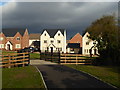
New estate, Worcester
Looking from Grandison Gardens to Leslie Walk across a small stream that flows through the estate. It was a Sunday in January with dramatic lighting for most of my walk.
Image: © Chris Allen
Taken: 28 Jan 2018
0.02 miles
2
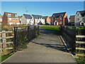
Grandison Gardens, Worcester
A modern housing development seen across a small stream.
Image: © Chris Allen
Taken: 25 Nov 2021
0.02 miles
3
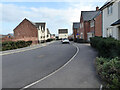
Dalziel Drive, Worcester
A long and serpentine road in this new housing development.
Image: © Chris Allen
Taken: 15 Mar 2021
0.05 miles
4
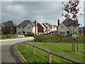
Dalziel Drive, Hatton Grange, Worcester
A large Persimmon development. A small stream cuts through below the white railings. To the right behind the bushes is Gradison Gardens. To the right just behind me is Leslie Walk. I was staggered by how long I spent wandering around this complex and I certainly didn't see every nook and cranny.
Image: © Chris Allen
Taken: 22 Oct 2017
0.05 miles
5
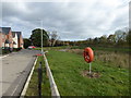
Hatton Grange, Worcester
A new Persimmon Homes development. This is Honywood Place. The lifebelt is a little incongruous. This was a flat field before the houses were built to the left. There is now a dry pond that appears to receive the storm drains from the estate. There is a possible pumping station at one end that adjoins a substation. Perhaps I need to take another look after torrential rain.
Image: © Chris Allen
Taken: 22 Oct 2017
0.06 miles
6
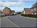
Dalziel Drive, Worcester
A long and serpentine road within a new housing development.
Image: © Chris Allen
Taken: 15 Mar 2021
0.06 miles
7
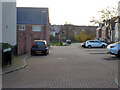
Montgomery Mews, Worcester
This is in a relatively new development by the A4440 Worcester bypass and is either known as Hatton Grange or Wildmore.
Image: © Chris Allen
Taken: 25 Nov 2022
0.06 miles
8
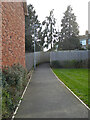
Path from Dalziel Drive to Kilbury Drive, Worcester
This leads from a new housing development to an older development.
Image: © Chris Allen
Taken: 15 Mar 2021
0.06 miles
9
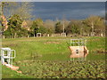
Sustainable Urban Drainage System, new estate, Worcester
This is a pond that appears to have been excavated as part of a new development.
Image: © Chris Allen
Taken: 28 Jan 2018
0.07 miles
10
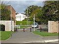
Between the new and the old
On the other side of the bollards is Staplow Road on the well-established Red Hill estate. I am on Dalziel Drive on the new Hatton Grange estate.
Image: © Chris Allen
Taken: 22 Oct 2017
0.07 miles