
IMAGES TAKEN NEAR TO
Goldsmith Road, WORCESTER, WR4 9FW
Introduction
This page details the photographs taken nearby to Goldsmith Road, WR4 9FW by members of the Geograph project.
The Geograph project started in 2005 with the aim of publishing, organising and preserving representative images for every square kilometre of Great Britain, Ireland and the Isle of Man.

There are currently over 7.5m images from over14,400 individuals and you can help contribute to the project by visiting https://www.geograph.org.uk
Image Map
Images are licensed for reuse under creativecommons.org/licenses/by-sa/2.0
Notes
- Clicking on the map will re-center to the selected point.
- The higher the marker number, the further away the image location is from the centre of the postcode.
Image Listing (73 Images Found)
Images are licensed for reuse under creativecommons.org/licenses/by-sa/2.0
Image
Details
Distance
1
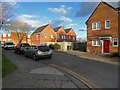
Coopers Close, Worcester
Looking along Coopers Close from the junction with Goldsmith Road. Although this better shows the layout it does not include the name sign.
Image: © Chris Allen
Taken: 19 Jan 2023
0.02 miles
2
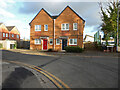
Coopers Close, Worcester
Cooers Close extends to the left and the junction with Goldsmith Road is to the right. This is a collection of streets named after occupations.
Image: © Chris Allen
Taken: 19 Jan 2023
0.03 miles
3
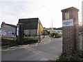
Regency High School, Entrance
Located in Carnforth Drive, Worcester. The school caters for students between 11-19 years with a range of additional needs including moderate, severe and profound learning disabilities, physical and medical needs, and sensory impairment.
Image: © Richard Dorrell
Taken: 21 Nov 2015
0.05 miles
4
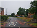
Carnforth Drive as it meets Windermere Drive, Worcester
Image: © Jeff Gogarty
Taken: 24 Aug 2022
0.05 miles
5
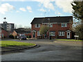
Turners Close, Worcester
Seen from Goldsmith Road. It was only looking at the map that I realised this is a whole enclave of streets named after jobs. Turners alluding to one who uses a lathe and not a well-known artist. There are a whole load of job descriptions that I need to back and add to my collection.
Image: © Chris Allen
Taken: 19 Jan 2023
0.06 miles
6
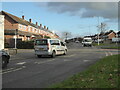
Windermere Drive, Warndon, Worcester
One of the main routes through a very large estate of social housing.
Image: © Chris Allen
Taken: 19 Jan 2023
0.07 miles
7
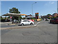
Sainsbury's filling station, Windermere Drive, Worcester
Image: © Chris Allen
Taken: 23 Jun 2021
0.07 miles
8
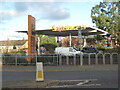
Sainsbury's filling station, Blackpole, Worcester
This is classed as Blackpole but is just on the edge of the large Warndon estate of social housing.
Image: © Chris Allen
Taken: 19 Jan 2023
0.08 miles
9
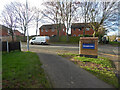
Goldsmith Road, Worcester
The junction with Windermere drive is to the right.
Image: © Chris Allen
Taken: 19 Jan 2023
0.08 miles
10
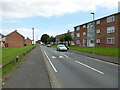
Randwick Drive, Worcester
An estate of council/social housing.
Image: © Chris Allen
Taken: 15 Jul 2021
0.12 miles