
IMAGES TAKEN NEAR TO
Howlett Place, WORCESTER, WR4 0RG
Introduction
This page details the photographs taken nearby to Howlett Place, WR4 0RG by members of the Geograph project.
The Geograph project started in 2005 with the aim of publishing, organising and preserving representative images for every square kilometre of Great Britain, Ireland and the Isle of Man.

There are currently over 7.5m images from over14,400 individuals and you can help contribute to the project by visiting https://www.geograph.org.uk
Image Map
Images are licensed for reuse under creativecommons.org/licenses/by-sa/2.0
Notes
- Clicking on the map will re-center to the selected point.
- The higher the marker number, the further away the image location is from the centre of the postcode.
Image Listing (105 Images Found)
Images are licensed for reuse under creativecommons.org/licenses/by-sa/2.0
Image
Details
Distance
2
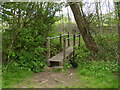
Footbridge over a drain by the A4440, Worcester
The position is an approximation as the map does not show this and the aerial view is shrouded by trees. This is on the edge of the Warndon Villages development where it abuts the A4440 Worcester Bypass.
Image: © Chris Allen
Taken: 2 May 2021
0.02 miles
3
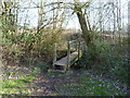
Footbridge over stream in Racefield Meadow
The Harleys, Warndon Villages, Worcester.
Image: © Jeff Gogarty
Taken: 21 Feb 2019
0.02 miles
4
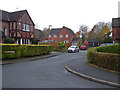
Hobhouse Gardens, Harley Bakewell
Photographed from Dunmow Avenue.
Image: © Chris Allen
Taken: 24 Nov 2019
0.04 miles
5
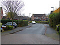
Dunmow Avenue, Harley-Bakewell, Worcester
Seen from Fowler Avenue.
Image: © Chris Allen
Taken: 24 Nov 2019
0.04 miles
6
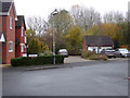
Towneley, Harley-Bakewell
Seen from the end of Fowler Avenue, Towneley runs off to the left.
Image: © Chris Allen
Taken: 24 Nov 2019
0.05 miles
7
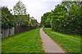
Worcester : Footpath
A footpath heading along the outskirts of Worcester.
Image: © Lewis Clarke
Taken: 5 May 2014
0.07 miles
8
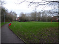
Playing field, Harley-Bakewell
One of many variably sized green areas in and between the various Warndon Villages.
Image: © Chris Allen
Taken: 9 Jan 2020
0.08 miles
9
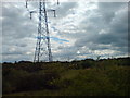
Power line east of Worcester
This part of the grid runs down to the substation at power park and then on to Malvern.
Image: © Andrew Darge
Taken: 20 Jun 2009
0.08 miles
10

Play area in Harley Warren, Warndon Villages, Worcester
Image: © Jeff Gogarty
Taken: 21 Feb 2019
0.08 miles