
IMAGES TAKEN NEAR TO
Birchanger Green, WORCESTER, WR4 0DW
Introduction
This page details the photographs taken nearby to Birchanger Green, WR4 0DW by members of the Geograph project.
The Geograph project started in 2005 with the aim of publishing, organising and preserving representative images for every square kilometre of Great Britain, Ireland and the Isle of Man.

There are currently over 7.5m images from over14,400 individuals and you can help contribute to the project by visiting https://www.geograph.org.uk
Image Map
Images are licensed for reuse under creativecommons.org/licenses/by-sa/2.0
Notes
- Clicking on the map will re-center to the selected point.
- The higher the marker number, the further away the image location is from the centre of the postcode.
Image Listing (90 Images Found)
Images are licensed for reuse under creativecommons.org/licenses/by-sa/2.0
Image
Details
Distance
1
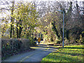
A Sunday afternoon stroll in Warndon Villages
The position is approximate and shows the path that separated Lyppard-Huxley to the right from Lyppard-Habington to the left. The path is a combined footpath and cycleway.
Image: © Chris Allen
Taken: 1 Dec 2019
0.02 miles
2
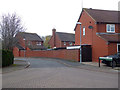
Birchanger Green, Lyppard-Habington
Seen from Purleigh Avenue.
Image: © Chris Allen
Taken: 21 Nov 2019
0.02 miles
3
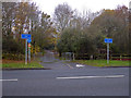
Path into New Plantation from Plantation Drive
Plantation Drive is one of the major road in Warndon Villages and runs between the Lyppards and the Berkeleys and down to the A4440.
Image: © Chris Allen
Taken: 24 Nov 2019
0.04 miles
4
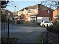
Fallow Field, Lyppard-Huxley
A street in Warndon Villages and seen from the opposite end to this one - Image
Image: © Chris Allen
Taken: 1 Dec 2019
0.04 miles
5
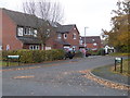
Cangle Lane, Lyppard Habington
Seen from Purleigh Avenue. Part of the Lyppards within Warndon Villages. There are some interesting street names within the Lyppards. Cangle is apparently a verb of Scottish origin meaning to wrangle. I suppose that in this context as a street name it might mean something else again. It was once suggested that a motor manufacturer seemed to pick names for its new models by selecting letters at random from a bag of scrabble letters.
Image: © Chris Allen
Taken: 21 Nov 2019
0.05 miles
6
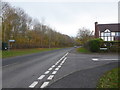
Junction of Plantation Drive and Purleigh Avenue
Plantation drive is heading towards the A4440 Worcester bypass while Purleigh avenue is the entrance to Lyppard Habington. This was my first venture into Lyppard Habington and I didn't see all the named streets within this particular corner of Warndon Villages.
Image: © Chris Allen
Taken: 21 Nov 2019
0.06 miles
7
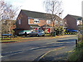
Haywain Avenue, Lyppard-Huxley
Seen from Plantation Drive that runs between the Lyppards and the Berkeleys
Image: © Chris Allen
Taken: 1 Dec 2019
0.06 miles
8
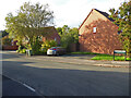
Pippen Field, Lyppard-Habington
Part of the large Warndon Villages complex of multiple cul-de-sacs, many linked on foot.
Image: © Chris Allen
Taken: 25 Oct 2021
0.07 miles
9
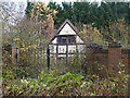
Abandoned looking house near Trotshill Lane East
This is accessed from a short track off Trotshill Lane East and appears to be abandoned and overgrown. It is a nice looking property and probably worth a fair bit. It is a shame to see it in this state. It is buried among a mass of newish housing development but is associated with one of the old surviving thoroughfares (Trotshill Lane) predating the development.
Image: © Chris Allen
Taken: 21 Nov 2019
0.07 miles
10
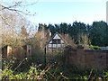
Abandoned house. Worcester
An older property among the new developments of Warndon Villages and near Trotshill Lane East. The grounds are very overgrown and there are no signs of life or of the gates having been opened. There is a hole in the fence but thick undergrowth would discourage trespass. This is from a public footpath with a reasonably wide angle lens and is about as much as you can squeeze in easily.
Image: © Chris Allen
Taken: 13 Dec 2019
0.07 miles