
IMAGES TAKEN NEAR TO
Pinkus Close, WORCESTER, WR4 0DJ
Introduction
This page details the photographs taken nearby to Pinkus Close, WR4 0DJ by members of the Geograph project.
The Geograph project started in 2005 with the aim of publishing, organising and preserving representative images for every square kilometre of Great Britain, Ireland and the Isle of Man.

There are currently over 7.5m images from over14,400 individuals and you can help contribute to the project by visiting https://www.geograph.org.uk
Image Map
Images are licensed for reuse under creativecommons.org/licenses/by-sa/2.0
Notes
- Clicking on the map will re-center to the selected point.
- The higher the marker number, the further away the image location is from the centre of the postcode.
Image Listing (97 Images Found)
Images are licensed for reuse under creativecommons.org/licenses/by-sa/2.0
Image
Details
Distance
1
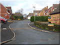
Pinkus Close, Harley Warren
Seen off Collings Avenue in this corner of Warndon Villages. The name of this close is unusual and I am not sure where they got it from. The only Pinkus I am familiar with is a skin tumour called the fibroepithelioma of Pinkus that is a variant of basal cell carcinoma. It was described by Hermann Pinkus in 1953 and is thus an eponymous tumour. There is also a Lancashire based firm of surveyors and commercial estate agents by the name of Robert Pinkus. Some of the streets in Warndon Villages do have quite unusual names but there aren't many that seem to be named after eponymous tumours.
Image: © Chris Allen
Taken: 22 Dec 2019
0.01 miles
2
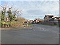
In the Harleys, Warndon Villages
The Junction of Topham Avenue (to the left) with Dugdale Drive (straight ahead). Topham Avenue is the entrance to and the main spine road within Harley-Goodacre. The houses to the right are in Harley-Warren.
Image: © Chris Allen
Taken: 2 Dec 2019
0.02 miles
3
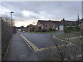
Hetherington Rise, Harley Warren
Part of Warndon Villages seen from the footpath linking to Dugdale Drive.
Image: © Chris Allen
Taken: 22 Dec 2019
0.03 miles
4
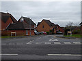
Haines Avenue, Harley-Warren
Seen across Dugdale Drive. The road off to the left in the distance is Fiskin Lane. Dugdale Drive is a main road through the Harleys and bisecting groups of 'villages' with the prefix 'Harley'.
Image: © Chris Allen
Taken: 24 Jan 2020
0.05 miles
5
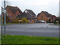
Entrance to Harley Warren, Warndon Villages
Haines Avenue seen across Dugdale Drive is one of the entrances to the collection of streets and cul de sacs known as Harley Warren. Some of the subsections of the villages only have a single entrance. Note the house on the left (as well as the matching one out of sight to the right) incorporates a pyramidal roof and ventilator in a pastiche of an entrance lodge.
Image: © Chris Allen
Taken: 4 Dec 2022
0.05 miles
6
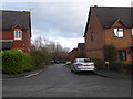
Fiskin Lane, Harley-Warren
Seen from Haines Avenue that is one of the two roads leading into Harley-Warren. Harley-Warren is unusual among Warndon Villages in having two entrance roads for vehicular access. Many of the villages only have a single main road in and out by vehicle (but many ways on foot).
Image: © Chris Allen
Taken: 22 Dec 2019
0.05 miles
7
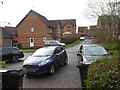
Fiskin Lane, Harley-Warren
The blind end as seen from the path linking it to the path that runs between Harley-Warren and Harley-Bakewell.
Image: © Chris Allen
Taken: 22 Dec 2019
0.06 miles
8
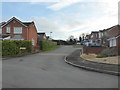
Wedley Place, Harley-Goodacre
A cul-de-sac seen from Hornsby Avenue
Image: © Chris Allen
Taken: 29 Dec 2019
0.07 miles
9
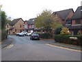
Collings Avenue, Harley Warren
This is one end of a sinuous avenue in Warndon Villages.
Image: © Chris Allen
Taken: 24 Nov 2019
0.08 miles
10
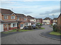
Looking down Twarnley Rise, Harley-Goodacre
Twarnley Rise is a cul-de-sac with no exit either on foot or by vehicle. This is looking from the blind end towards Pitt Avenue. Typical modern middle-class suburbia.
Image: © Chris Allen
Taken: 29 Dec 2019
0.09 miles