
IMAGES TAKEN NEAR TO
Primrose Way, WR10 1FJ
Introduction
This page details the photographs taken nearby to Primrose Way, WR10 1FJ by members of the Geograph project.
The Geograph project started in 2005 with the aim of publishing, organising and preserving representative images for every square kilometre of Great Britain, Ireland and the Isle of Man.

There are currently over 7.5m images from over14,400 individuals and you can help contribute to the project by visiting https://www.geograph.org.uk
Image Map
Images are licensed for reuse under creativecommons.org/licenses/by-sa/2.0
Notes
- Clicking on the map will re-center to the selected point.
- The higher the marker number, the further away the image location is from the centre of the postcode.
Image Listing (13 Images Found)
Images are licensed for reuse under creativecommons.org/licenses/by-sa/2.0
Image
Details
Distance
1
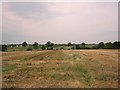
Fields near Pershore Hall
Wide open fields of cereals and runner beans stretch away to the north west of the Gig Bridge path
Image: © Dave Bushell
Taken: 31 Aug 2005
0.11 miles
2
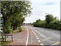
Station Road, Pershore
The A4104 passing Pershore High School
Image: © David Dixon
Taken: 26 Jun 2017
0.17 miles
3
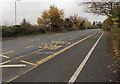
Pershore High School bus stops
Alongside the A4104 Station Road in the north of Pershore.
Image: © Jaggery
Taken: 16 Nov 2014
0.18 miles
4
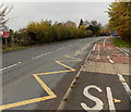
Zigzag road markings outside Pershore High School
The markings at the edge of the A4104 Station Road delimit a Keep Clear zone near a school entrance.
Image: © Jaggery
Taken: 16 Nov 2014
0.18 miles
5
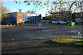
Pershore High School
Pershore High School is situated between Pershore and the village of Pinvin.
Image: © Philip Halling
Taken: 23 Nov 2008
0.20 miles
6

Westcott Way, Pershore
New housing is spreading rapidly over the fields north of Pershore.
Image: © Des Blenkinsopp
Taken: 6 Aug 2025
0.20 miles

8
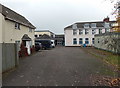
Pershore High School
On the east side of Station Road, in the north of Pershore.
Image: © Jaggery
Taken: 16 Nov 2014
0.21 miles
9
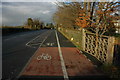
Cycle path and footpath past Pershore High School
Cycle path and footpath along side the A4104, Station Road, past Pershore High School.
Image: © Philip Halling
Taken: 23 Nov 2008
0.21 miles
10
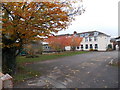
Late autumn colours, Pershore High School
The southern edge of Pershore High School viewed from Station Road in mid November 2014.
Image: © Jaggery
Taken: 16 Nov 2014
0.22 miles