Zigzag road markings outside Pershore High School
Introduction
The photograph on this page of Zigzag road markings outside Pershore High School by Jaggery as part of the Geograph project.
The Geograph project started in 2005 with the aim of publishing, organising and preserving representative images for every square kilometre of Great Britain, Ireland and the Isle of Man.

There are currently over 7.5m images from over 14,400 individuals and you can help contribute to the project by visiting https://www.geograph.org.uk
Zigzag road markings outside Pershore High School
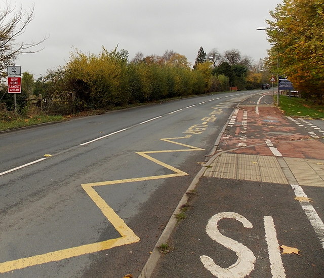
Image: © Jaggery Taken: 16 Nov 2014
The markings at the edge of the A4104 Station Road delimit a Keep Clear zone near a school entrance.
Images are licensed for reuse under creativecommons.org/licenses/by-sa/2.0
Image Location
Latitude
52.126056
Longitude
-2.075035