IMAGES TAKEN NEAR TO
Miners View, SKELMERSDALE, WN8 0AZ
Introduction
This page details the photographs taken nearby to Miners View, WN8 0AZ by members of the Geograph project.
The Geograph project started in 2005 with the aim of publishing, organising and preserving representative images for every square kilometre of Great Britain, Ireland and the Isle of Man.

There are currently over 7.5m images from over14,400 individuals and you can help contribute to the project by visiting https://www.geograph.org.uk
Image Map
Images are licensed for reuse under creativecommons.org/licenses/by-sa/2.0
Notes
- Clicking on the map will re-center to the selected point.
- The higher the marker number, the further away the image location is from the centre of the postcode.
Image Listing (10 Images Found)
Images are licensed for reuse under creativecommons.org/licenses/by-sa/2.0
Image
Details
Distance
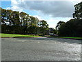
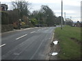
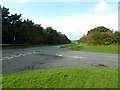
1

The path follows the edge of the field
Beyond that are playing fields and Digmoor
Image: © Ian Greig
Taken: 10 Sep 2010
0.07 miles
5
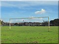
Playing fields near Chequer
Through the goal posts to Newgate Works (Brickworks) near Chequer, Pimbo
Image: © Gary Rogers
Taken: 30 Sep 2014
0.20 miles
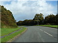
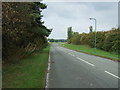
6
Junction of Tower Hill Road and Chequer Lane
Image: © Alexander P Kapp
Taken: 3 Oct 2012
0.22 miles