Playing fields near Chequer
Introduction
The photograph on this page of Playing fields near Chequer by Gary Rogers as part of the Geograph project.
The Geograph project started in 2005 with the aim of publishing, organising and preserving representative images for every square kilometre of Great Britain, Ireland and the Isle of Man.

There are currently over 7.5m images from over 14,400 individuals and you can help contribute to the project by visiting https://www.geograph.org.uk
Playing fields near Chequer
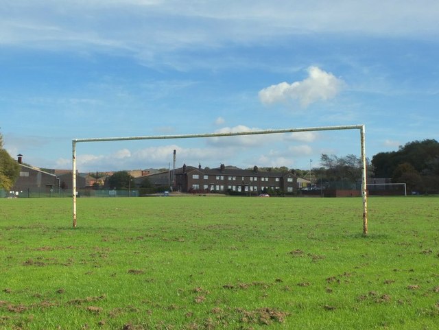
Image: © Gary Rogers Taken: 30 Sep 2014
Through the goal posts to Newgate Works (Brickworks) near Chequer, Pimbo
Images are licensed for reuse under creativecommons.org/licenses/by-sa/2.0
Image Location
Latitude
53.536981
Longitude
-2.745478