IMAGES TAKEN NEAR TO
Branstone Grove, OSSETT, WF5 9SU
Introduction
This page details the photographs taken nearby to Branstone Grove, WF5 9SU by members of the Geograph project.
The Geograph project started in 2005 with the aim of publishing, organising and preserving representative images for every square kilometre of Great Britain, Ireland and the Isle of Man.

There are currently over 7.5m images from over14,400 individuals and you can help contribute to the project by visiting https://www.geograph.org.uk
Image Map
Images are licensed for reuse under creativecommons.org/licenses/by-sa/2.0
Notes
- Clicking on the map will re-center to the selected point.
- The higher the marker number, the further away the image location is from the centre of the postcode.
Image Listing (71 Images Found)
Images are licensed for reuse under creativecommons.org/licenses/by-sa/2.0
Image
Details
Distance
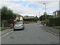
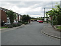
1
Branstone Grove - viewed from Brookdale Avenue
Image: © Betty Longbottom
Taken: 6 Aug 2013
0.05 miles
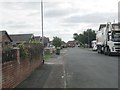
3
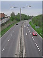
The Mad Mile
This section of the A638 Dewsbury to Wakefield Road is known locally as the Mad Mile, because of motorists' driving habits before speed limits and mobile cameras were installed.
Image: © Oxana Maher
Taken: 22 Apr 2007
0.07 miles
5
Branstone Grove - viewed from Brookdale Avenue
Image: © Betty Longbottom
Taken: 6 Aug 2013
0.07 miles
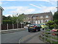
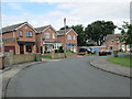
6
Greenacres - looking towards High Street
Image: © Betty Longbottom
Taken: 6 Aug 2013
0.08 miles
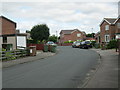
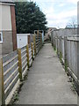
8
Ashmore Drive - off Brookdale Avenue
Image: © Betty Longbottom
Taken: 6 Aug 2013
0.10 miles