The Mad Mile
Introduction
The photograph on this page of The Mad Mile by Oxana Maher as part of the Geograph project.
The Geograph project started in 2005 with the aim of publishing, organising and preserving representative images for every square kilometre of Great Britain, Ireland and the Isle of Man.

There are currently over 7.5m images from over 14,400 individuals and you can help contribute to the project by visiting https://www.geograph.org.uk
The Mad Mile
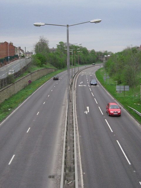
Image: © Oxana Maher Taken: 22 Apr 2007
This section of the A638 Dewsbury to Wakefield Road is known locally as the Mad Mile, because of motorists' driving habits before speed limits and mobile cameras were installed.
Images are licensed for reuse under creativecommons.org/licenses/by-sa/2.0
Image Location
Latitude
53.694624
Longitude
-1.584849