
IMAGES TAKEN NEAR TO
WF3 4GS
Introduction
This page details the photographs taken nearby to WF3 4GS by members of the Geograph project.
The Geograph project started in 2005 with the aim of publishing, organising and preserving representative images for every square kilometre of Great Britain, Ireland and the Isle of Man.

There are currently over 7.5m images from over14,400 individuals and you can help contribute to the project by visiting https://www.geograph.org.uk
Image Map
Images are licensed for reuse under creativecommons.org/licenses/by-sa/2.0
Notes
- Clicking on the map will re-center to the selected point.
- The higher the marker number, the further away the image location is from the centre of the postcode.
Image Listing (119 Images Found)
Images are licensed for reuse under creativecommons.org/licenses/by-sa/2.0
Image
Details
Distance
2
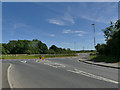
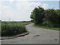
Junction of Ferry Lane and Nellie Spindler Drive
The road to the right was unexpected: it doesn't show on my 2013 Explorer map that only shows a minor road (Balk Lane). It links to the Wakefield Eastern Relief Road that has opened in the last few years. It is named after a local nurse killed in World War One, "the only woman buried with full military honours at Passchendaele".
Image: © Stephen Craven
Taken: 25 May 2020
0.03 miles
4
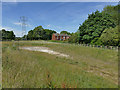
Drainage holding pond alongside Nellie Spindler Drive
I presume this is to hold excess water from the drainage of the new road and the housing being built along its length. In the 2020 spring drought it was completely dry.
Image: © Stephen Craven
Taken: 25 May 2020
0.03 miles
6
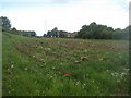
Rhubarb field
See Image
The flower stalks have been cut back, but the crop appears to be dying off due to the lack of rain.
Image: © Mike Kirby
Taken: 6 Jun 2011
0.03 miles
7
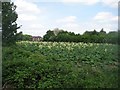
Rhubarb in flower
Rhubarb can bolt, (the term for flowering when not required), as a response to dry, hot weather, and we’ve just had the driest two months on record.
If left, the flower will weaken the root, which will then produce weak thin stalks.
Image: © Mike Kirby
Taken: 25 Apr 2011
0.03 miles
8
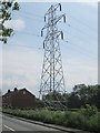
Electricity Pylon No PF15 - Ferry Lane
Image: © Betty Longbottom
Taken: 2 Jun 2014
0.04 miles
9
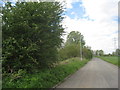
Balk Lane, Stanley Ferry
A field to the east and scrub on the west. This was once a street of houses (on the west side) as the lilac (just visible) suggests.
Image: © Jonathan Thacker
Taken: 8 May 2012
0.05 miles
10
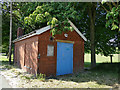
Yorkshire Water building, Ferry Lane, Stanley
Old maps show that Wakefield Corporation had a reservoir adjacent to the road, probably storing water from the Calder; this building may be a relic of that installation, as suggested by a local contributor Image
Image: © Stephen Craven
Taken: 25 May 2020
0.06 miles