Junction of Ferry Lane and Nellie Spindler Drive
Introduction
The photograph on this page of Junction of Ferry Lane and Nellie Spindler Drive by Stephen Craven as part of the Geograph project.
The Geograph project started in 2005 with the aim of publishing, organising and preserving representative images for every square kilometre of Great Britain, Ireland and the Isle of Man.

There are currently over 7.5m images from over 14,400 individuals and you can help contribute to the project by visiting https://www.geograph.org.uk
Junction of Ferry Lane and Nellie Spindler Drive
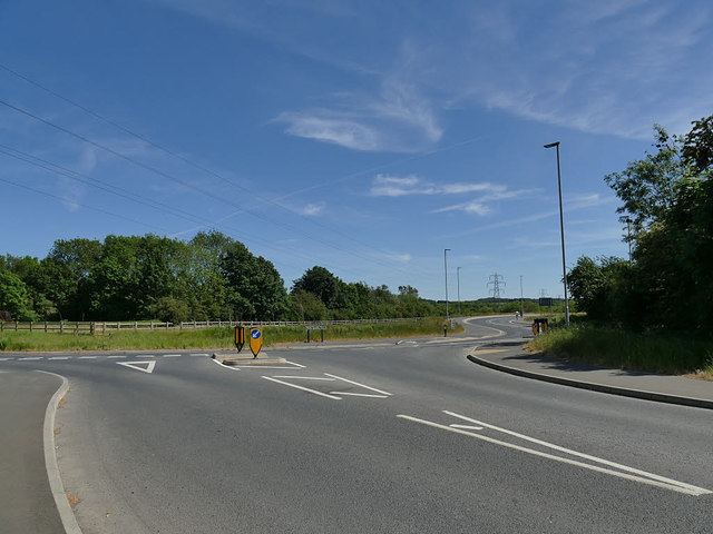
Image: © Stephen Craven Taken: 25 May 2020
The road to the right was unexpected: it doesn't show on my 2013 Explorer map that only shows a minor road (Balk Lane). It links to the Wakefield Eastern Relief Road that has opened in the last few years. It is named after a local nurse killed in World War One, "the only woman buried with full military honours at Passchendaele".
Images are licensed for reuse under creativecommons.org/licenses/by-sa/2.0
Image Location
Latitude
53.701449
Longitude
-1.46936