IMAGES TAKEN NEAR TO
Tanners Wood Close, ABBOTS LANGLEY, WD5 0HR
Introduction
This page details the photographs taken nearby to Tanners Wood Close, WD5 0HR by members of the Geograph project.
The Geograph project started in 2005 with the aim of publishing, organising and preserving representative images for every square kilometre of Great Britain, Ireland and the Isle of Man.

There are currently over 7.5m images from over14,400 individuals and you can help contribute to the project by visiting https://www.geograph.org.uk
Image Map
Images are licensed for reuse under creativecommons.org/licenses/by-sa/2.0
Notes
- Clicking on the map will re-center to the selected point.
- The higher the marker number, the further away the image location is from the centre of the postcode.
Image Listing (15 Images Found)
Images are licensed for reuse under creativecommons.org/licenses/by-sa/2.0
Image
Details
Distance
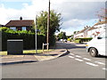
4
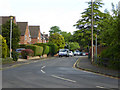
Road sign in Abbots Langley
In the wood immediately adjacent is a set of swings which are grown over with brambles. Curious that.
Image: © Jack Hill
Taken: 18 Aug 2005
0.18 miles
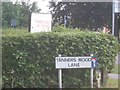
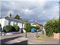
5

Tanners Wood Infants School, Abbots Langley
I have difficulty imagining anyone driving at 5 mph
Image: © Jack Hill
Taken: 18 Aug 2005
0.18 miles
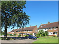
6
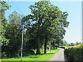
Greenways, Abbots Langley
A dead-end.
Image: © Robin Webster
Taken: 14 May 2017
0.19 miles
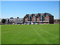
10
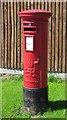
Edward VIII postbox, School Mead, WD5
Image: © Mike Quinn
Taken: 24 Jul 2012
0.24 miles