IMAGES TAKEN NEAR TO
Pangbourne Avenue, LONDON, W10 6DJ
Introduction
This page details the photographs taken nearby to Pangbourne Avenue, W10 6DJ by members of the Geograph project.
The Geograph project started in 2005 with the aim of publishing, organising and preserving representative images for every square kilometre of Great Britain, Ireland and the Isle of Man.

There are currently over 7.5m images from over14,400 individuals and you can help contribute to the project by visiting https://www.geograph.org.uk
Image Map
Images are licensed for reuse under creativecommons.org/licenses/by-sa/2.0
Notes
- Clicking on the map will re-center to the selected point.
- The higher the marker number, the further away the image location is from the centre of the postcode.
Image Listing (84 Images Found)
Images are licensed for reuse under creativecommons.org/licenses/by-sa/2.0
Image
Details
Distance
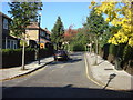
2
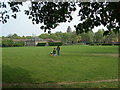
Kensington Memorial Park (1)
Looking towards St Charles Hospital Image
Image: © Danny P Robinson
Taken: 29 Apr 2007
0.07 miles
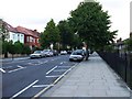
9
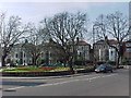
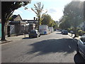
Junction of North Pole Road, St Quintin Avenue and Highlever Road
Image: © Tim Glover
Taken: 19 Mar 2005
0.10 miles
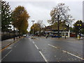
10
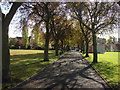
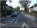
Tree lined avenue, Kensington Memorial Park
Image: © Oxyman
Taken: 22 Oct 2008
0.11 miles