IMAGES TAKEN NEAR TO
Springwell Lane, UXBRIDGE, UB9 6PG
Introduction
This page details the photographs taken nearby to Springwell Lane, UB9 6PG by members of the Geograph project.
The Geograph project started in 2005 with the aim of publishing, organising and preserving representative images for every square kilometre of Great Britain, Ireland and the Isle of Man.

There are currently over 7.5m images from over14,400 individuals and you can help contribute to the project by visiting https://www.geograph.org.uk
Image Map
Images are licensed for reuse under creativecommons.org/licenses/by-sa/2.0
Notes
- Clicking on the map will re-center to the selected point.
- The higher the marker number, the further away the image location is from the centre of the postcode.
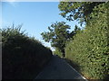
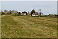
Image Listing (36 Images Found)
Images are licensed for reuse under creativecommons.org/licenses/by-sa/2.0
Image
Details
Distance
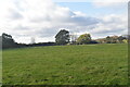
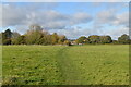
5
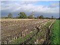
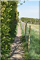
Harefield: Stubble field, Hill End
Viewed looking north eastwards along the Hillingdon Trail footpath.
Image: © Nigel Cox
Taken: 3 Dec 2005
0.08 miles
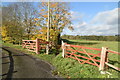
9
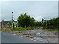
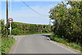
Entrance to Cripps House Farm off Springwell Lane
Image: © Alexander P Kapp
Taken: 16 Jul 2012
0.11 miles