IMAGES TAKEN NEAR TO
Gaylor Road, NORTHOLT, UB5 4BB
Introduction
This page details the photographs taken nearby to Gaylor Road, UB5 4BB by members of the Geograph project.
The Geograph project started in 2005 with the aim of publishing, organising and preserving representative images for every square kilometre of Great Britain, Ireland and the Isle of Man.

There are currently over 7.5m images from over14,400 individuals and you can help contribute to the project by visiting https://www.geograph.org.uk
Image Map
Images are licensed for reuse under creativecommons.org/licenses/by-sa/2.0
Notes
- Clicking on the map will re-center to the selected point.
- The higher the marker number, the further away the image location is from the centre of the postcode.
Image Listing (23 Images Found)
Images are licensed for reuse under creativecommons.org/licenses/by-sa/2.0
Image
Details
Distance
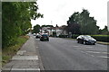
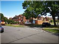
3
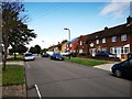
Doncaster Drive
Close to Northolt High School.
Image: © James Emmans
Taken: 17 Aug 2019
0.11 miles
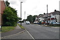
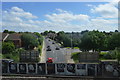
6
Doncaster Drive junction with Hurst Close
Image: © James Emmans
Taken: 17 Aug 2019
0.16 miles
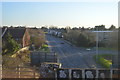
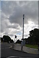
7
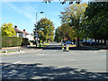
Somervell Road
Looking from its junction with Field End Road.
Image: © Robin Webster
Taken: 6 Oct 2012
0.16 miles