IMAGES TAKEN NEAR TO
Becketts Close, FELTHAM, TW14 0BG
Introduction
This page details the photographs taken nearby to Becketts Close, TW14 0BG by members of the Geograph project.
The Geograph project started in 2005 with the aim of publishing, organising and preserving representative images for every square kilometre of Great Britain, Ireland and the Isle of Man.

There are currently over 7.5m images from over14,400 individuals and you can help contribute to the project by visiting https://www.geograph.org.uk
Image Map
Images are licensed for reuse under creativecommons.org/licenses/by-sa/2.0
Notes
- Clicking on the map will re-center to the selected point.
- The higher the marker number, the further away the image location is from the centre of the postcode.
Image Listing (47 Images Found)
Images are licensed for reuse under creativecommons.org/licenses/by-sa/2.0
Image
Details
Distance
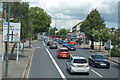
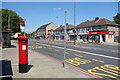

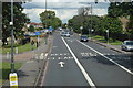
7
Harlington Road West, Feltham
The red line in the middle of the road is a bus lane, search me.
Image: © David Howard
Taken: 21 Oct 2013
0.14 miles
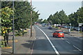
10
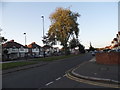
Carlton Avenue looking towards Hounslow Road
Image: © David Howard
Taken: 27 Oct 2014
0.15 miles